From the National Weather Service
a flash flood watch in effect through thursday evening…
the national weather service in morristown has issued a
* flash flood watch for a portion of east tennessee, including
the following areas, bledsoe, blount smoky mountains, bradley,
east polk, hamilton, loudon, marion, mcminn, meigs, nw blount,
northwest monroe, rhea, roane, sequatchie, southeast monroe,
and west polk.* through thursday evening
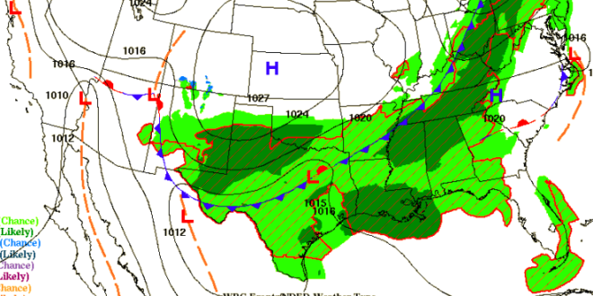
* showers and thunderstorms with periods of moderate to heavy
rainfall are forecast across the area wednesday and thursday in
association with a cold front. runoff from this heavy rainfall
may lead to flash flooding.* people in the watch area should be aware of the threat of
heavy rainfall. avoid low lying areas…and be careful when
approaching highway dips and underpasses. do not drive through
flooded spots on roads, especially if you do not know how deep
the water is.precautionary/preparedness actions…
a flash flood watch means that conditions may develop that lead
to flash flooding. flash flooding is a very dangerous situation.you should monitor later forecasts and be prepared to take quick
action if flooding is observed or a flash flood warning is
issued. if you come to a closed or flooded road…turn around!
don’t drown!